


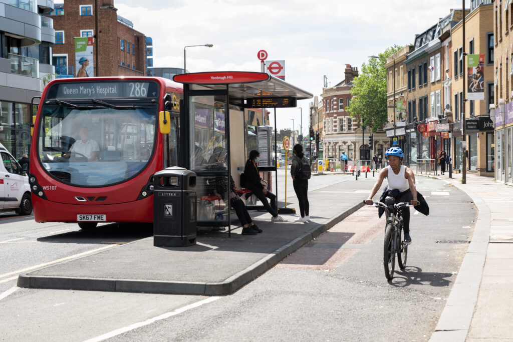

Transport for London did not install a single cycle lane on its own road network last year, instead relying on individual boroughs to build their own infrastructure, a new report shows.
London’s Healthy Streets Scorecard Coalition published data on TfL’s own road network for the first time, having previously monitored the progress of active travel across all 32 London boroughs. The latest scorecard for the boroughs found that the City of London and Islington had the “healthiest streets”, based on several metrics including low traffic neighbourhoods (LTNs), 20mph speed limits, and protected cycle lanes.
All outer London boroughs scored lower than the inner London boroughs, with the exceptions of Waltham Forest and Richmond-upon-Thames. The lowest scoring inner boroughs were Lewisham and Kensington & Chelsea, whilst the lowest scoring outer boroughs were Bexley and Hillingdon.
TfL is responsible for the city’s ‘red routes’ which cover 5 percent of total roads in the capital, but make up 30 percent of all journeys. Among the roads included in the network are Victoria Embankment, Old Kent Road and the North Circular Road.
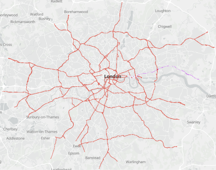
Compared with 2024-25 Healthy Streets found the number of red routes with a 20mph speed limit had increased by 3.2 percent, but that the levels of traffic, and the amount of protected ‘cycle track’ installed along the red routes were unchanged compared to the previous year. Meanwhile the number of fatal and serious injuries occurring on these roads increased by 2.4 percent to 1,066. The rise echoes a rise in TfL’s city-wide statistics which showed a rise in serious injuries, though the number of fatal incidents declined.
Responding to the report, the London Cycling Campaign’s (LCC) Simon Munk told London’s Local Democracy Reporter (LDR) that, “The Mayor’s made great strides in delivering the ‘Healthy Streets’ agenda in general, but there are weak points, particularly in TfL’s delivery.
“TfL officers frequently talk about a ‘step change’ needed to ensure London gets truly healthy streets where kids play out, people walk and cycle – but there’s little sign of that change and far too much ‘business as usual’.
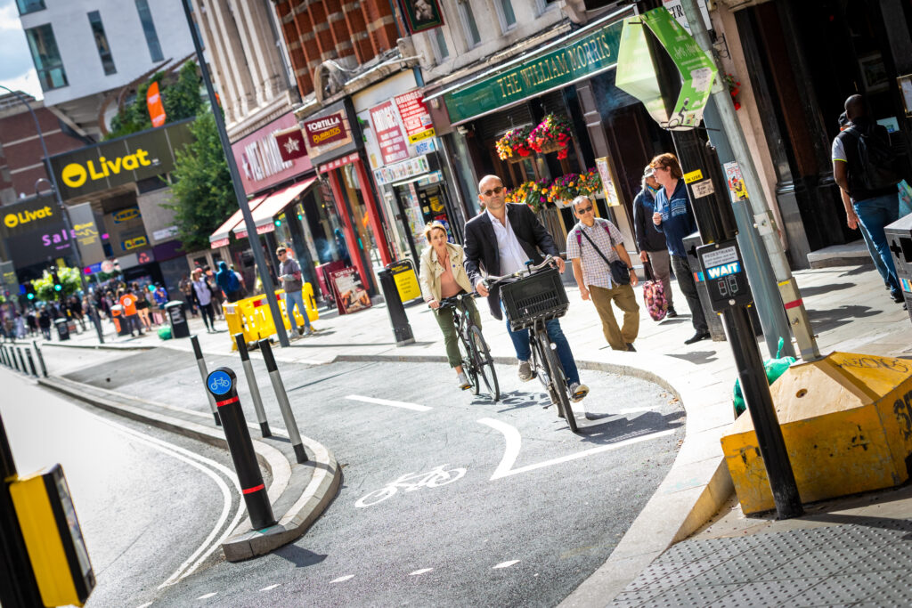
“In the last year of data, despite TfL delivering more 20mph limits, collisions have risen, and traffic volumes and rollout of cycle tracks and bus priority measures have essentially flatlined while nearly 60 percent of TfL junctions have missing pedestrian signals.
“London faces crises of climate, road danger, inactivity-related ill health and far more. TfL needs to make that ‘step change’ now, not later.”
A spokesperson for the Healthy Streets Coalition, of which LCC is a part, added “This is the first year we have published scores for the roads that TfL manages and we really hope it will encourage the Mayor to dramatically increase the pace of improvement on London’s arterial routes.”
In 2022, Mayor of London Sadiq Khan admitted TfL were facing funding cuts that prevented road upgrades to improve cycling in the city, but insisted he remained committed to their own ‘Healthy Streets’ initiative.
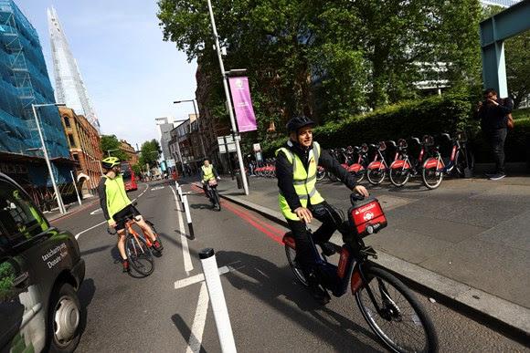
More recently, Sir Sadiq scaled back requirements for cycle parking in new house-building projects in the city in a bid to speed up the process. However, the city has also recorded significant progress in reducing air pollution, which has been attributed to both the growing popularity of cycling, and the success of the capital’s Ultra Low Emissions Zone.
In response to the latest scorecard, TfL’s Head of Healthy Streets Delivery Helen Cansick told the LDR that a cycleway had recently been completed on Lambeth Bridge, and that further construction work was ongoing on the A23 and Nine Elms Lane.
“More than £158m has been allocated for Healthy Streets this financial year, including £94.8m for boroughs to deliver the schemes set out in their approved Local Implementation Plans – an increase of more than £7m compared with 2025/26.”




















2 thoughts on ““Far too much business as usual”: Transport for London fails to install a single cycle lane on its own network last year, damning new report finds”
One issue I have with this discussion is TFL controls the strategic road network.
So major roads.
In a huge chunk of cases there are alternative roads that make far, far more sense than building cycle lanes along the strategic road network…
To use an example I use, TFL doing it would require putting the cycle lane along the A4 rather than A315;
The A4 is a dual carriageway and IIRC in places a flyover designed for high capacity through traffic.
The A315 is the road for accessing the town centres of Hounslow and Brentford, designed for local traffic.
High quality cycling infra along either works for me riding to work. But only infra on the A315 works for most local cyclists who aren’t doing a 20 mile commute all the way into central London, but instead a 2-5 mile journey into Hounslow or Brentford centre. Both options can satisfy long distance riding; Only one satisfies short distance riding…
Becomes even more obvious with Chiswick High Road and Kensington High street vs Great West Road (and Hammersmith Flyover etc).
(Note that the TFL vs Borough roads listed are pretty comparable in length…)
Basically arguing TFL should be providing infra on Londons Strategic Road network is arguing that we should focus on long distance cycling and ignore the ‘last mile section’, despite the majority of bicycle users doing journeys that are too short to ever leave ‘last mile’ sections…
(I can see arguments for making TFL responsible for key cycling routes; but step 1 to doing this is transferring control of said routes from Borough Councils to TFL…)
Mostly.
Isn’t part of the problem also that decades of mass motoring have:
a) eroded the difference between “place/ destination” and “route/corridor”. So the “local (high) streets” are now *also* expected to shift volumes of through traffic. And some of them have *become* part of the “strategic road network”, so…
b) …As it has made places “closer together” (less time to drive longer distances on the “bigger roads”) so it has also made them farther apart for active travel. That’s both by allowing centralisation (people across a wider area are served by an out-of-town shopping estate) but also by physically severing direct routes. So maybe now you *can’t* follow a reasonably direct desire line – there’s now the dual carriageway in the way. And perhaps the “shortest reasonable *local* route” may now be a longer one partly on “strategic infra”?
There’s still a lot of “but cyclists can use the quiet streets” / go round ideas about.
But there’s a reason why the route into town is a stroad: and perhaps getting there otherwise would more than double the distance and involve orienteering skills.
London may be especially blighted by being so large and not very dense outside the centre. But I note in NL while they’re keen that modes have their own networks they see value in providing connections along at least some of the “strategic road network”.